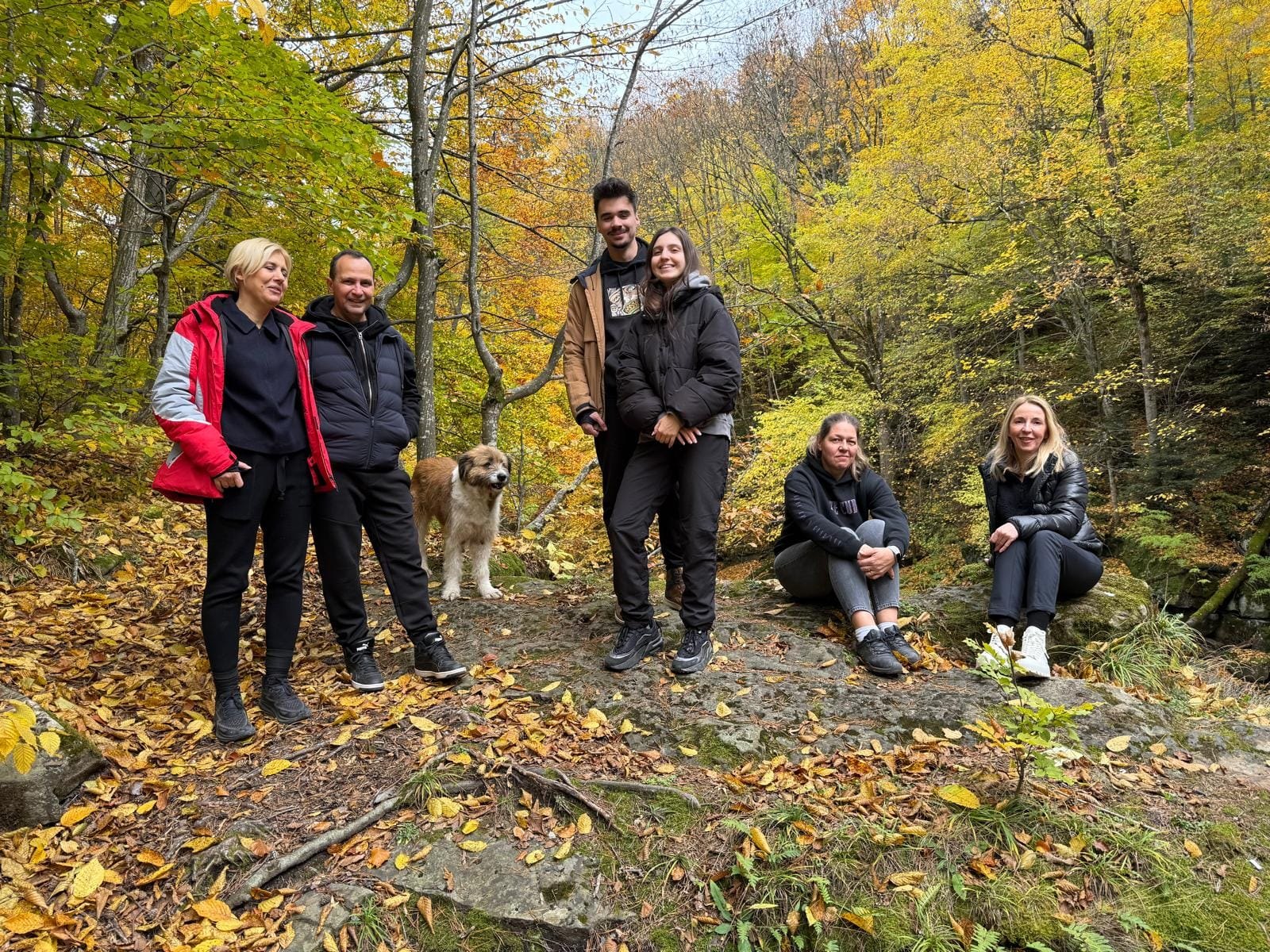
The Uz gorge in autumn · Photo: Wild Verse — timp.ro
Home / Things to do / Hiking

Hiking

The trails to the Nemira Ridge start right in Sălătruc — a stone's throw from the guesthouse.

Sălătruc is the official starting point for the Nemira Mountains. From here you climb to Nemira Mare Peak (1,649 m), Țiganca Peak or Nemira Bălților (1,627 m) — and for the slow days there is a whole network of forest roads along the Uz and its tributaries.
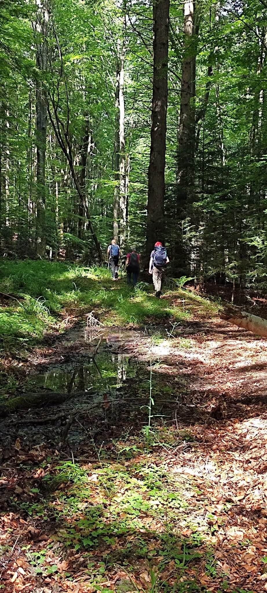
Hikers on a path through the beech forest in the Nemira Mountains
A path through the Nemira beech forest.
Photo: Cătănoiu Florin

For the gentle days

Not every day is a ridge day. Easy walks straight from the guesthouse: the Monument of the Unknown Hero (1.4 km, ~20 minutes), the Uz gorge to Nasolea Waterfall (~1.6 km, 20–25 minutes), the lakeshore, and the forest roads along the Bârzăuța and Bașca. In autumn, the same roads turn into mushroom-picking routes.

At a glance

  • Trailheads: Sălătruc (near the guesthouse) and Slănic Moldova
  • Peaks: Nemira Mare (1,649 m), Farcu Mare (1,498 m), Țiganca, Nemira Bălților (1,627 m)
  • Season: May–October on the ridge; year-round on the forest roads
Trail sheets

The officially marked trails

Bacău County has 9 officially marked mountain trails — all of them in the Nemira. These four pass through or start from the Uz Valley area.

T1 · Slănic Moldova → Nemira Mare Peak → Poiana Uzului

Difficulty: moderate Duration: 9–10 hours Waymark: blue stripe Ends at: the Uz Valley — near the guesthouse

The classic ridge route: you climb out of Slănic Moldova over Șandru Mare and Șaua Nemirei, cross Nemira Mare Peak (1,649 m) and Farcu Mare Peak (1,498 m), then descend into the Uz Valley. The most spectacular traverse of the massif — a full day of walking, for hikers in good shape.

T2 · Slănic Moldova → La Sălărie → Plaiul Ciungetului → Sălătruc

Difficulty: moderate · not recommended in winter Duration: 9–10 hours Waymark: blue stripe Ends at: Sălătruc — at the guesthouse

The direct link between the spa resort and the Uz Valley: over Pufu and Cleja mountains, along Plaiul Ciungetului, passing Bălătău Lake. It ends right in Sălătruc: you come down off the mountain and you are home.

T3 · Plaiul Ciungetului → Nemira Mare Peak

Difficulty: easy (the ridge segment) Duration: ~1 hour on the ridge Waymark: yellow cross

The ridge link between Plaiul Ciungetului and the summit — the option for anyone who wants Nemira Mare without the full traverse. Note: the climb from the valley up to Plaiul Ciungetului comes on top of the ridge segment's duration. Combine it with T2 for a loop from Sălătruc.

T4 · Slănic Moldova → Pufu Valley → La Cireș Peak → Șaua Nemirei

Difficulty: moderate Duration: 4–5 hours Waymark: blue cross End point: Șaua Nemirei, 1,440 m

The climb through the Pufu Valley up to Șaua Nemirei — the perfect half day in the mountains, with the option of continuing along the ridge to the summit.

Ridge traverse · Groza Creek valley → Bălțile Nemirei → the tail of the lake

Difficulty: high Duration: a full day Waymark: partly unmarked Ends at: the tail of the lake — at the guesthouse

The long tour of the massif, for trained hikers: climb up the Groza Creek valley, rest at Bălțile Nemirei, then follow the ridge over Țiganca Peak, Nemira Mare Peak (1,649 m), Farcu Mare and Farcu Mic, descending straight to the tail of Poiana Uzului Lake — that is, to the guesthouse gate.

It is not among the officially marked trails and has unmarked stretches: go with a map, GPS and settled weather. Route documented by Turist prin Județul Bacău.

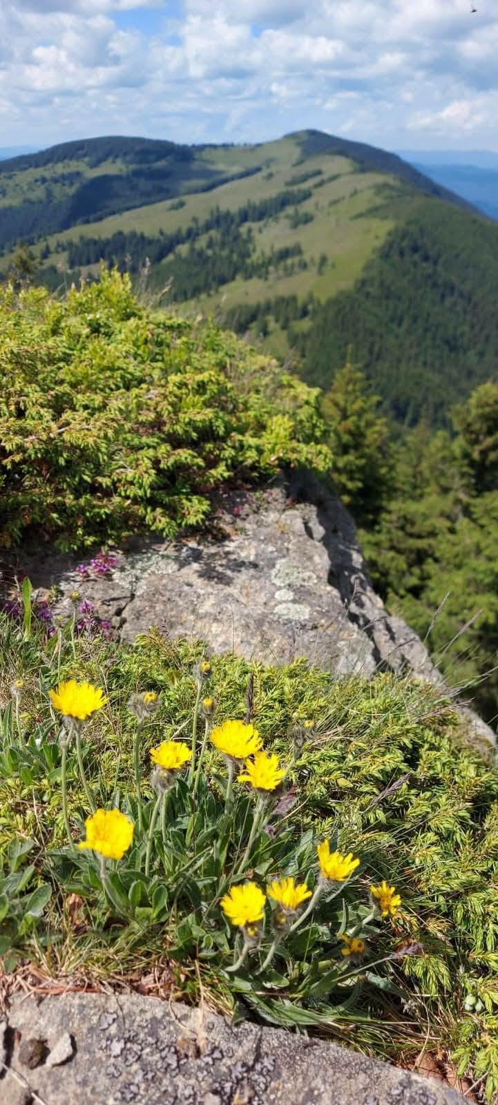
Mountain flowers on the Nemira Ridge, with the peaks in the background
The Nemira Ridge, towards Țiganca Peak · Photo: Cătănoiu Florin

Bonus · The Uz gorge → Nasolea Waterfall

Difficulty: easy Distance: ~1.6 km Duration: an easy 20–25 minute walk Start: the tail of the lake (Sălătruc) Suitable for: families

The short afternoon walk: up the gorge, ~400 m past the bridge at the tail of the lake, to the rock steps. Details on the waterfall page.

Group of hikers with a dog, in the autumn forest of the Uz gorge
In the gorge, on the way to the waterfall — autumn.

Staying safe in the Nemira

  • Bears live here. Make noise on overgrown paths, never leave food behind, and come down before dark.
  • The weather on the ridge changes fast — pack a rain layer even on a sunny day.
  • Mobile signal is patchy on the trails; tell your hosts where you are going and when you will be back.
  • Water: springs are not guaranteed — set off with your own supply.
  • Emergencies: 112 · Salvamont mountain rescue dispatch: 0725 826 668 (0SALVAMONT)

Sources and maps

  • The official trail sheets: bacaulturistic.ro
  • Apps with marked trails (Nemira Mountains) and the area's mountain maps
  • Highest point of the massif: Nemira Mare — 1,649 m

Base camp for the ridge: Sălătruc

Two trails end practically at the guesthouse gate. Come down off the mountain straight into the hot tub.